
Create practical maps of farms, plots, crops, field conditions, and operating zones.
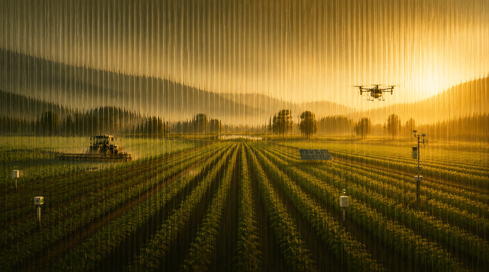
Precision agriculture
Turn field signals into better agriculture decisions.
Afrolink helps agriculture programs connect mapping, field data, crop intelligence, and advisory workflows into practical decision systems.Approach
Precision means useful decisions, not just more data.
Agriculture teams need clear signals: what is happening in the field, where attention is needed, which interventions matter, and how progress should be reported. Afrolink designs precision agriculture systems around those operating questions.
Combine drone, GIS, weather, soil, and field observations into decision-ready signals.
Help teams prioritize interventions, spraying windows, input planning, and reporting cycles.
Give institutions visibility into field status, adoption, risk, and operational progress.
Connect drones, GIS, crop data, and advisory work in one loop.
Observe field conditionsPrioritize interventionsCoordinate teamsReport outcomes
Start here